Error: Contact form not found.
Google Rating


Why choose Mayne Maps
1 Mayne Maps produce the most affordable and best value maps in Australia.
2 Ring Alan now on 0409 800 211 for a chat about how my maps can assist you with your property.
3 Mayne Maps has operated successfully for 15 years and is producing maps for all over Australia and overseas.
4 My maps can contain incredible detail if required. Check out the map samples on this web site.
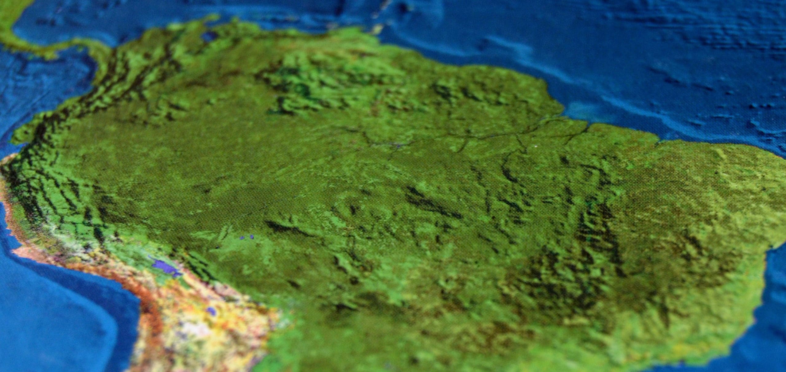
5 Vector graphics rather than bitmaps produce maps of infinite clarity even at high magnification.
6 My pdf files contain many layers that you can switch on and off to display different features of your property depending on your needs.
7 Your map can be displayed on your smart phone as well as on GPS units as a moving map that shows your exact position on your property as you move around.
8 You can create elevation profiles or cross sections of any part of your property at no cost. Great for pumping water or for fencing on hilly terrain.
9 I can convert an existing “rough” map into a clear professional map at very little cost. Give me a ring and I will provide samples.
10 I produce computer files in any format. I do not charge for printing. Printing is up to you or I can arrange printing for you if you wish. (Office Works and other printing houses produce laminated prints of excellent quality in any size at great prices).
11 You can make any number of prints of the file to any size on any medium without any charge from me.
12 I work from home, I have no paid staff or office rentals.
13 When you ring, you will always speak to me. No waiting, no messages, no misunderstandings and no other staff to mess things up.
14 I guarantee my work. If you are not completely happy with the initial draft at the initial cost when I first send you a copy, then you can cancel the job and there will be no charge.
15 I use many sources of data and aerial images as well as any existing maps you may have. Most of these sources are free and these savings are passed on to you.
16 You own your map from Mayne Maps. There are no copyright restrictions placed on it by me.
17 Your map can be updated in the future as the property changes or more information becomes available. This can be done by you or by me.
18 Many cartographers or GIS users have a limited supply of sources or aerial images that can be costly. I have no limits and can access high detail and recent images at no cost.
19 I am a cartographer creating full colour, high detail computer files at a fraction of the cost of a surveyor or draftsman. Check out my gallery and download some samples. Compare my maps with other maps you have seen.
20 I can show you how you can convert a map into a 3-D map at no cost. Excellent for hilly properties. Please ask.
21 You can manipulate this 3-D view for yourself, looking from any direction, from any height and at any angle all at no cost. If you ring I can tell you how to do this in a couple of minutes. It can be great fun for hilly properties.
22 You can create Elevation Profiles or Cross Sections of your property across any part of your property. Great for pumping water and for fencing.