Error: Contact form not found.
Google Rating


About Us
Where quality mapping solutions meet customer satisfaction, Mayne Maps is leading the way!
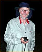
For over 15 years, Alan Mayne has dedicated his professional life to producing high-quality custom-made maps for businesses right across Australia. From humble beginnings as a part-time map drawer for local growers in the Stanthorpe region to earning a name for himself as a highly-sought-after Cartographer, Mayne Maps quickly became an established and reputable business that allowed Alan to trade in his teaching profession for a full-time career in producing quality mapping solutions.
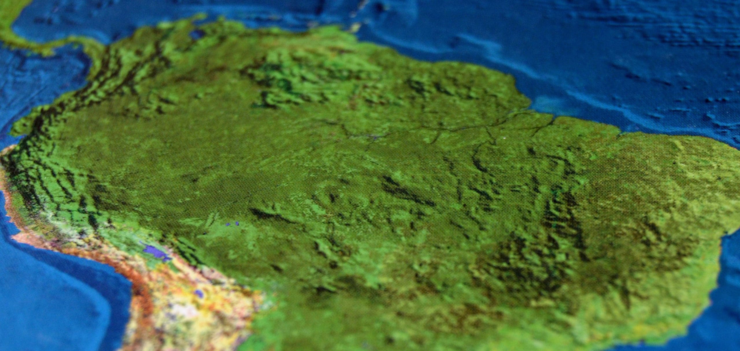
As of today, Alan Mayne continues to produce cutting-edge property and farming maps for projects of all sizes and levels of complexity. From small family businesses to large multinational corporations, Mayne Maps continue to pave the way in innovative mapping solutions for clients all over Australia and overseas, from the comfort of his home-based office in Brisbane, Australia.
Why use Mayne Maps?
- Quality – At Mayne Maps, we aren’t interested in pumping out generic maps. We pride ourselves on producing the highest quality maps. Boasting incredible detail and clarity, we stand proudly behind our approach to business and even offer a money back guarantee, should our map not meet your expectations.
- Detail – Bitmaps are known to affect image resolution, which is why we only use Vector graphics. At Mayne Maps, you can expect high-resolution maps with perfect readability and zero pixelation.
- Convenient & Flexible – There’s no need to sift through multiple maps. With Mayne Maps quality mapping service, we supply ONE computer file, with the option to see various different mapping features by alternating layers from the one file. There are no additional costs involved with setting up this software on your computer, it is completely FREE.
- Affordable Pricing – As our software costs are low and we have no major overhead costs, we are happy to pass these savings onto our valued customers. Our affordability isn’t indicative of the quality of our services; however, we believe that every property owner should have access to high-quality mapping solutions that won’t leave them out of pocket.
- One point of contact – When you ring, you’re guaranteed to always have one point of contact – Alan Mayne. No lengthy turnarounds or wait times, no messages, no misunderstandings, no miscommunication between employees.
- 100% Customer Satisfaction – At Mayne Maps, we understand that our work is only as good as the satisfaction we receive from our valued customers. It is for this reason that we guarantee all work conducted by our team. If you are not 100% happy with the way the map is progressing, we will happily cancel the project without any cost to you.
- 3D View Available – The software we use to produce your maps allows you to easily convert it into a 3D view, for printing or viewing purposes. Additionally, this allows you to manipulate the 3D view yourself, with the option of viewing it from any angle, height or direction. The cost? It’s completely FREE!
- Elevation Profiles Available – Whether it’s for construction mapping or water pipe or fencing planning, an elevation or cross section of any part of your property is an extremely beneficial way of ensuring accuracy and quality. And with Mayne Maps quality mapping solutions, you can create elevation profiles or cross sections at no extra cost!
- Cost Savings & Quality Resources – We use a variety of sources for free data and aerial images to produce maps. This may range from old maps that the client already has or up-to-date aerial images. Likewise, our images and sources do not have to be geo-referenced, however, it can be done later if needed. Likewise, many cartographers use a limited supply of sources. I have no limits and I can normally access high detail and up-to-date aerials at no cost. And guess what? All these extra savings and features are passed directly onto you!
- Experienced Cartographer – While I am a Cartographer and not a Surveyor, it should be noted that my accuracy is not to a Surveyor standard. However, my charges are a fraction of the price and my maps are full colour and boast more features and detail.
- Device Compatibility – Where cutting-edge technology meets convenience, your property map can be displayed on compatible GPS units and smartphones as a moving map.
My Prices
- When requested to undertake a map, I will indicate the approximate cost.
- During the work, I will inform the client as to the cost up to this point in time.
- At any stage, the client is invited to cancel the job for no charge.
See how it’s done
Follow this link for a video showing how Alan produces his maps.